Moblog updated, how about a game of football (USA style)?

Categories: Geography General, Glaciation, Rural
I have just spent ages sending all of my usable photos to the moblog . Unfortunately, there are loads of good photos I can't use, as you're all in them-although I had permission for photographs, I didn't have permission to put them online, hence no lake in Morillon, no group photos at Sixt fer a Cheval, and none of you trying to get onto French TV (sadly, no permission for that either!). Please feel free to have a browse, use the photos for your own purposes, or leave a comment on the blog.
I am going to spend some time tomorrow going over the map interpretation exercises I left for AH last week, as I think I over-estimated how much you would do in my absence... Hopefully in early enough to scan the maps for the IWB. I would like to get you out for a wee while soon practising some work in the field too.
With Higher, I think I am just about ready to start Glaciation. I noticed today that I have several sixth year crash Higher students, who have no prior knowledge of this, along with some really clued up new s5. I see an opportunity here for the class to get to know each other a bit better. I'm going to get a couple of s5 to brief the s6 students, followed by a brief Q & A session to the s6 open to the whole class. Topics might be linked to annotation of some photos, with a knowledge base to explain some of the features in the photograph.
I started the Green Revolution today after using the scenario choice exercise with s4 (see last post). We agreed that it would be impossible for everyone to leave the countryside in India as cities could not sustain the growth, while 'push' factors in the countryside made it difficult to see a future here. This got us onto whether an improvement in the countryside would lead to better living conditions and therefore less migration, so we are now examining whether the Green revolution actually achieved this. I also want to involve this class in some kind of Alps display to replace last years later this week/ start of next.
Finally, my new s3 (or my old s2) started the course proper today, and tomorrow, I really just want to map some physical landscapes (coastal areas, major rivers, carboniferous limestone and glaciated uplands) using the course support material as this is commonly the first question in the Intermediate papers.
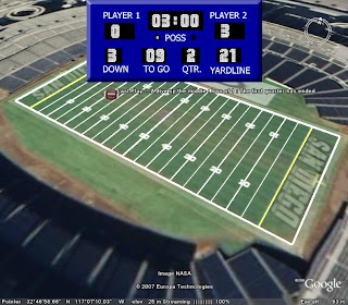
Now for something a bit lighter. If you have Google Earth, and you're a sports fan, I saw this on Google Earth Hacks earlier. Takes you to a sports field in the USA and lets you simulate a game of American football. Needless to say, as its a computer game of any sort, I was useless at it! You can download the kml here


0 Comments:
Post a Comment
<< Home