More Google Maps and Google Earth

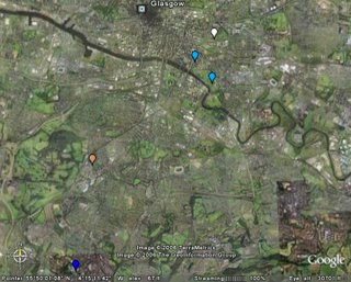
Another good practical application for google maps-I have been reading a new blog by Noel Jenkins, the author of juicygeography and digitalgeography who is doing some amazing things with mobile phones and their relevance for fieldwork. I can't even begin to keep up, being a non-mobile user, but some of the maps, and software etc that he is using are interesting for me, and I am sure that some of the mobile applications, even outwith a classroom setting may be interesting for some of you who are up to speed with mobile phone technology. I have tried creating a map of some higher urban field work using www.communitywalk.com , particularly useful for revision purposes with the assessment coming up. It details all of the locations within Glasgow that we visited, and their relevance for your urban study along with some photos of locations. Unfortunately, I had problems linking this to the blog, and found the site to be very slow, so try this link. You can also create a KML file, which opens in Google Earth. Here's mine if you have GE at home.
I think the map works best when, like Google Earth, you focus in on each location. Regarding the mobile applications, this is something I would really like to give some thought to for the s3 Alps trip-It would be good if we could set up a blog and post directly from the field to this.
I have also set up an Intermediate wiki for assessment writing and have changed the password on the Higher one. See me about the new password.


0 Comments:
Post a Comment
<< Home